← Learn Goldfindr · Goldfindr home
The Map Loop
The working loop for turning a district into a short list of stops: dots → heat → bare earth → streams → roads. Watch the 84 seconds of video, or read the same walk-through below it.
— or read it —
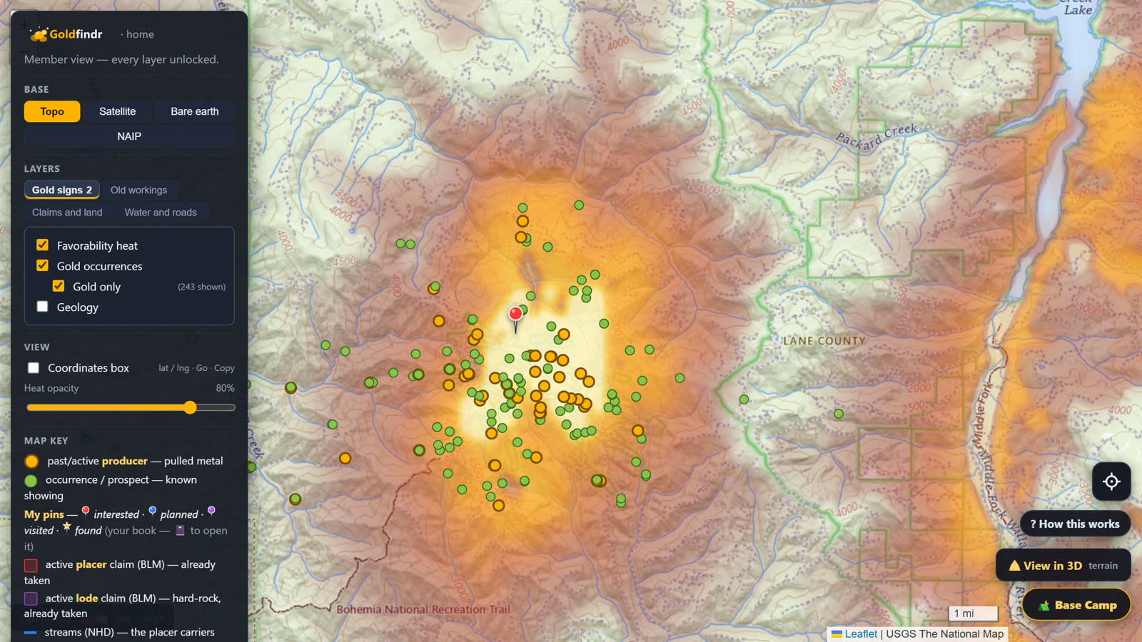
Start where you're going — dots and heat on
Pull up your ground with the gold occurrences and the favorability heat both on. You know this part from Reading the Heat: the dots say where gold was found, the glow says where the ground looks right.
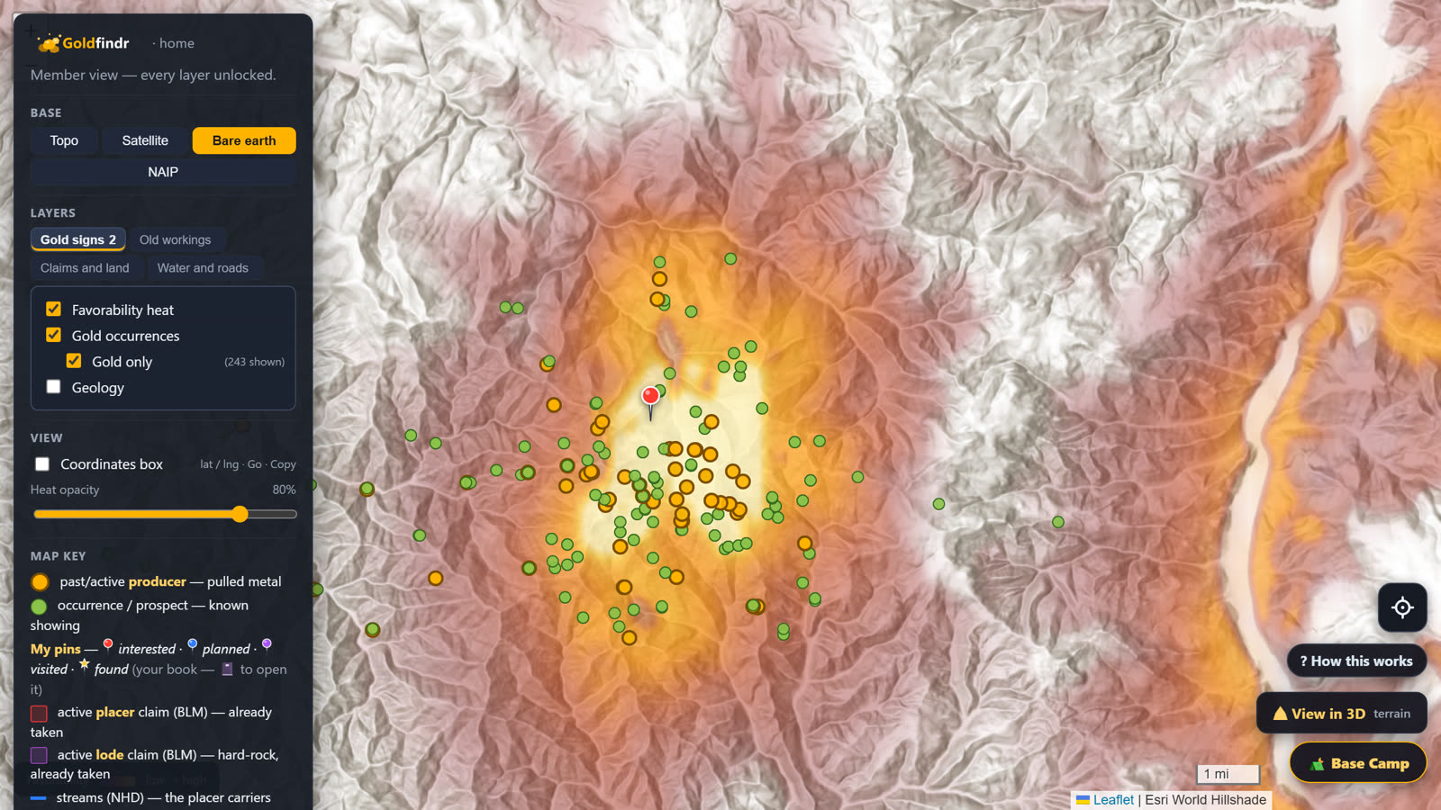
Flip the base to bare earth
In Base, pick Bare earth. That's LiDAR — it strips the forest off, and the heat rides along on top of the naked ground.
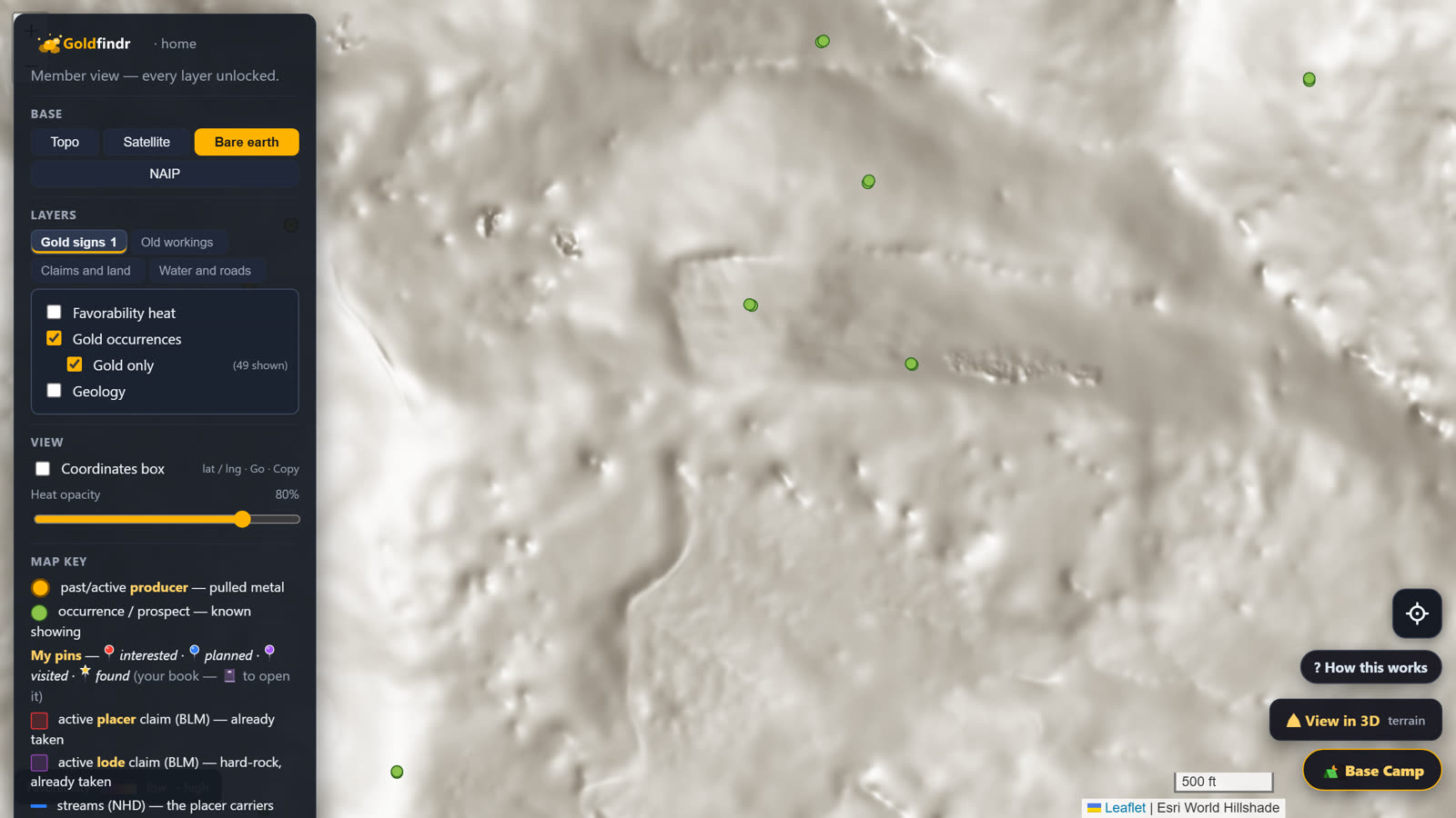
Read the old diggings
Zoom in on the hot ground. Those scratches, pits and benched cuts are the old-timers' diggings, still sitting there under the trees. Where they dug is where they found reason to dig.
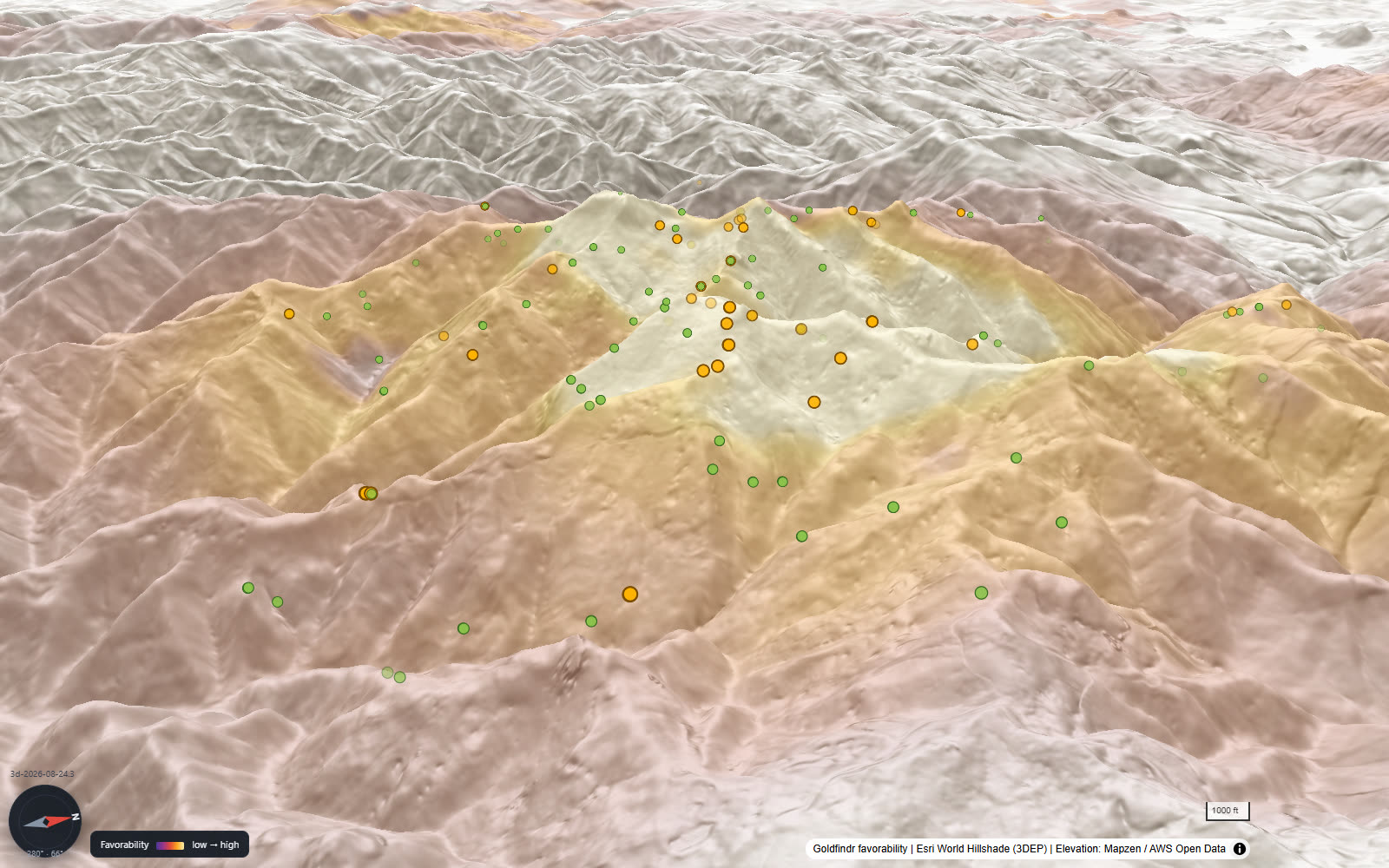
The power move: open it in 3D
Tap View in 3D and flip to bare earth there too. On the real mountain, the diggings stand up out of the hillside — members have picked out shafts cut straight into the side of a mountain this way.
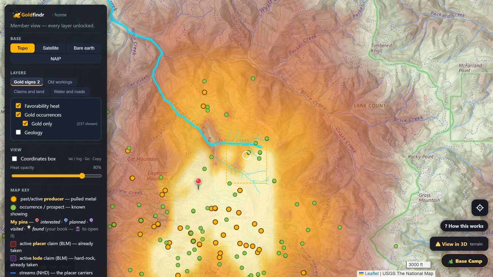
Water: click a source, watch the drainage light up
Turn on Streams and click a gold source — the drainage below it lights up blue. That's the water that carried the gold downhill. Pick the creek you'd actually work.
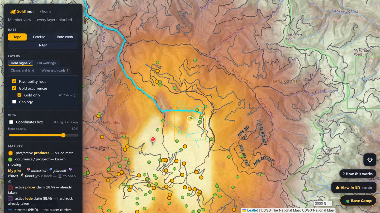
Roads: the way in
Flip on Roads and see how you'd get there — right down to the Forest Service road numbers.
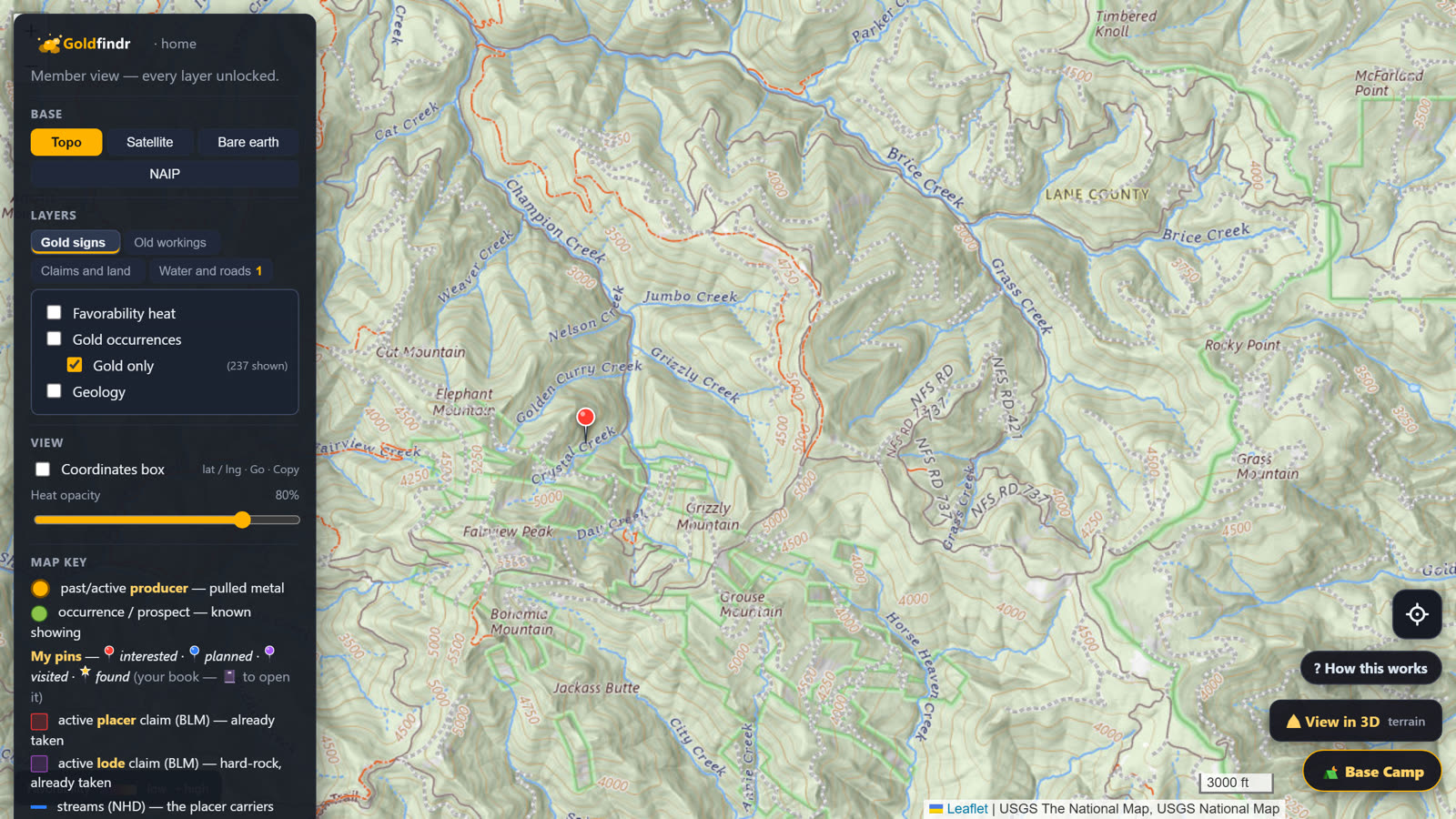
Navigate on the plain topo
When it's time to go, drop back to the topo. The elevation lines tell you what the drive and the walk really are, and the roads are marked plain. The topo is your navigating map — the heat already did its job.